Road Information Websites
When hurricanes, tropical storms, or even major winter weather threaten the Gulf and East Coast, one of the biggest challenges people face is staying mobile and safe on the roads.
Road closures due to flooding, debris, accidents, or emergency management can quickly turn a normal commute or evacuation into a dangerous situation. Fortunately, every state from Texas to Maine has an official Department of Transportation (DOT) or 511 travel system that provides real-time updates.
These sites aren’t just for hurricanes — they’re also valuable for tracking construction closures, accidents, winter storms, and general travel planning. Each portal offers live maps, traffic speeds, and alerts that help drivers make informed decisions before hitting the road.
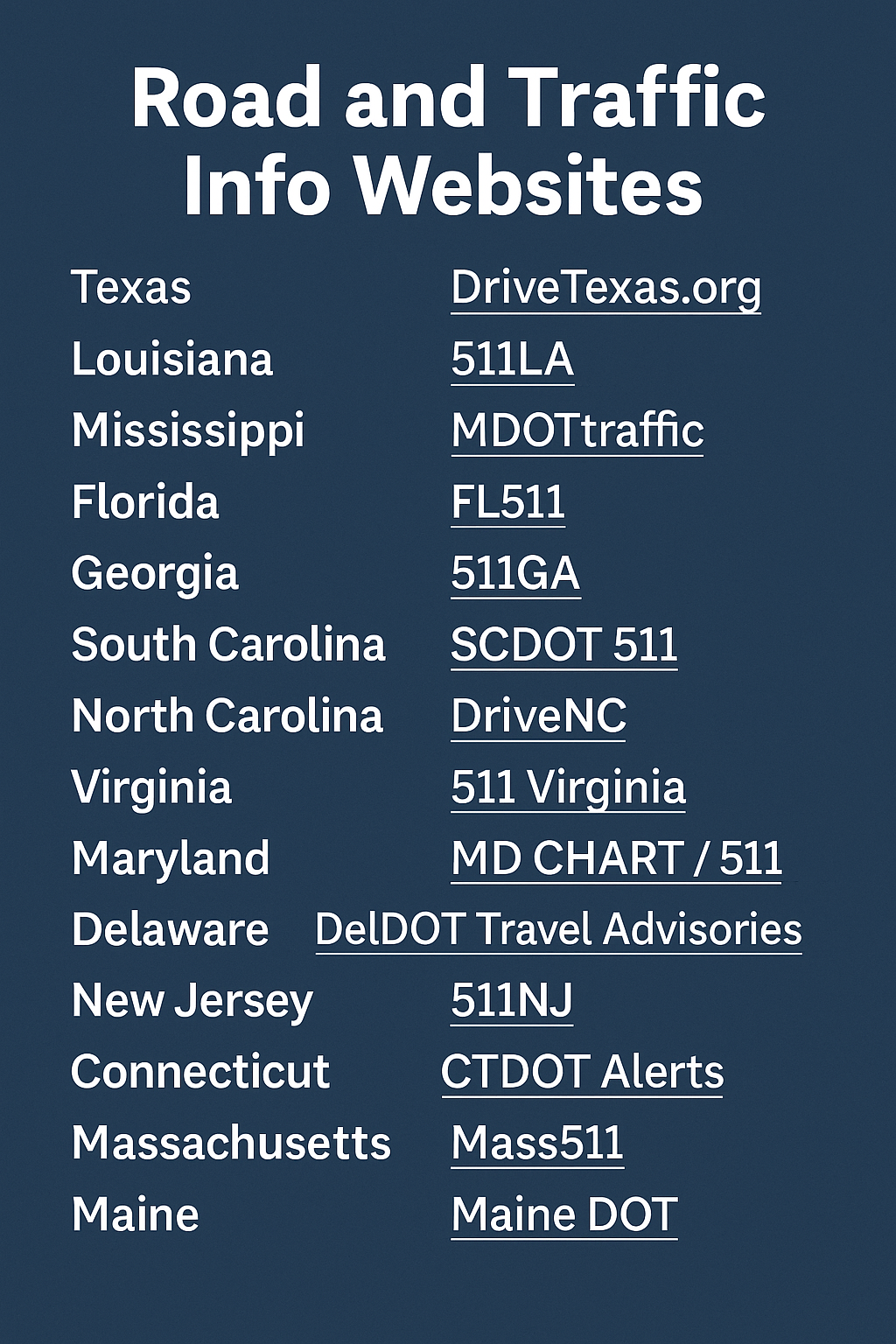
Here are the official sites by state:
- Texas – DriveTexas.org
- Louisiana – 511LA
- Mississippi – MDOTtraffic
- Florida – FL511
- Georgia – 511GA
- South Carolina – SCDOT 511
- North Carolina – DriveNC
- Virginia – 511 Virginia
- Maryland – MD CHART / 511
- Delaware – DelDOT Travel Advisories
- New Jersey – 511NJ
- New York – 511NY
- Connecticut – CTDOT Alerts
- Massachusetts – Mass511
- Maine – Maine DOT
Why It Matters
- Evacuation Planning – Quickly check which roads are closed or heavily congested before heading out.
- Emergency Response – First responders and essential workers use these same tools to plan safe and fast routes.
- Daily Use – Even outside of emergencies, these resources are the most reliable way to avoid delays from construction and accidents.
Final Note
Whether you live on the Gulf Coast, the Eastern Seaboard, or simply travel through these regions, bookmarking your state’s official road information site is a must. In a crisis like a hurricane, having real-time information can be the difference between getting stuck and getting out safely.